Mountain Bike Rides
EXPLORE BAY AREA LOCAL FAVORITES
The Bay Area is where mountain biking began, and we're truly blessed to have some of the best singletrack in the world. From Marin to Santa Cruz to local East Bay spots, there's a ton of great mountain bike trails to explore.
Joaquin Miller Park
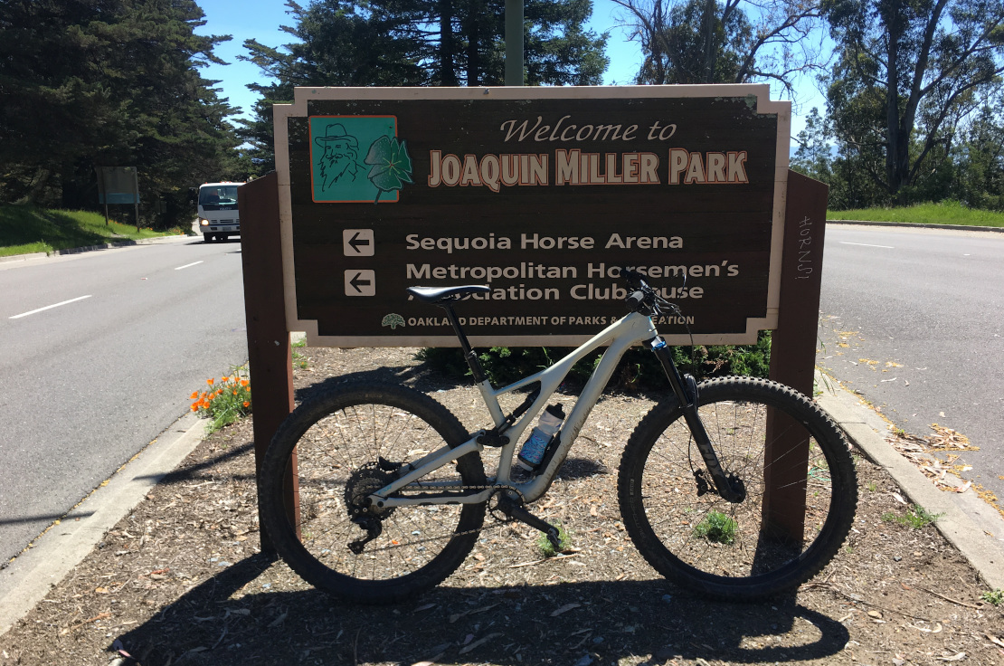
Joaquin Miller Park is a place we should feel lucky to have. As mountain bikers in the Bay Area, trail access is limited. NO BIKES signs are as prevalent as rocks, roots, and Oak leaves. Joaquin Miller Park is a small park in the Oakland hills, maintained by the City of Oakland and a lot of dedicated volunteers. It has many trails, almost all of which are open to bikes. Legal singletrack? You bet. A good amount of it.
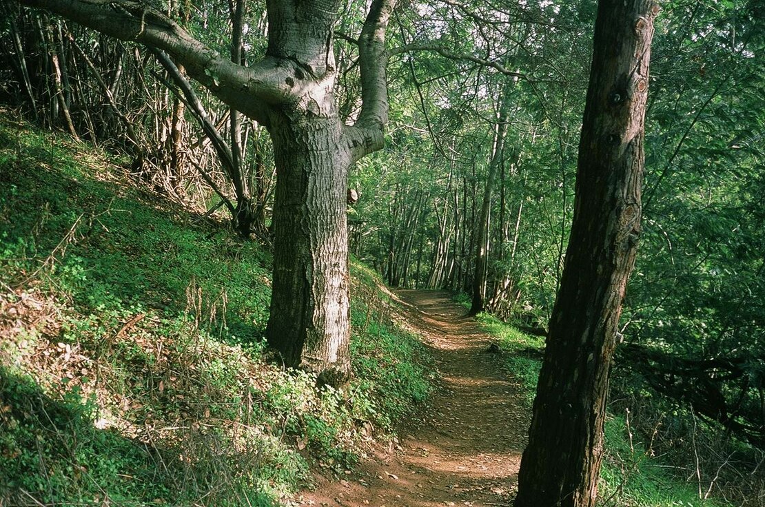
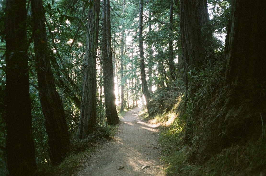
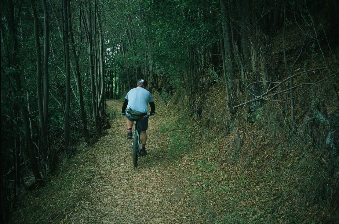
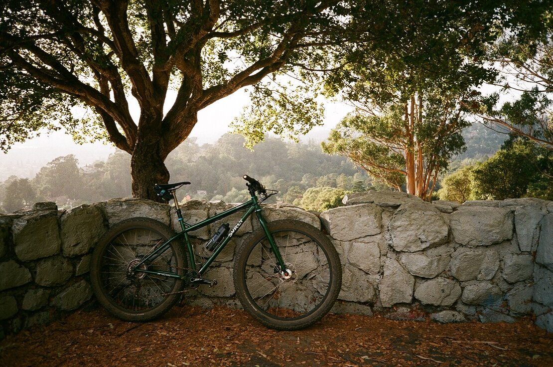
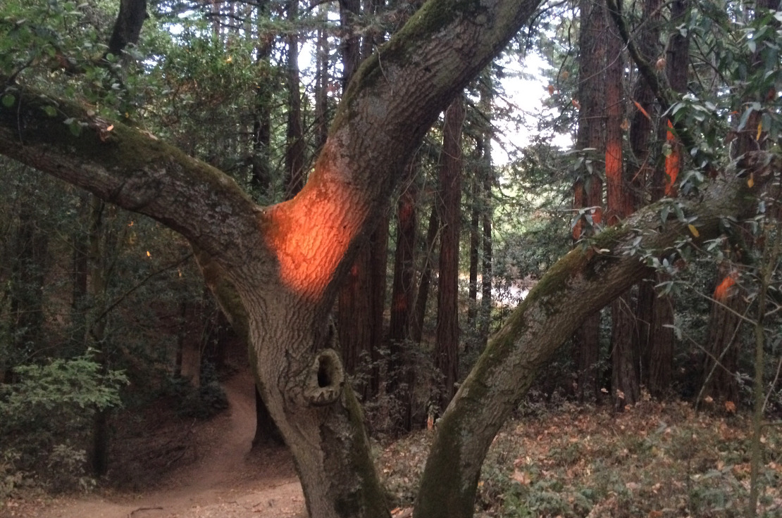
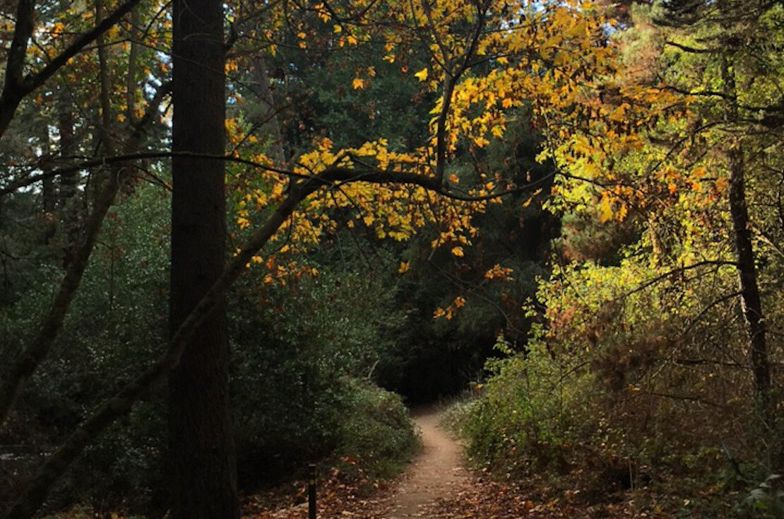
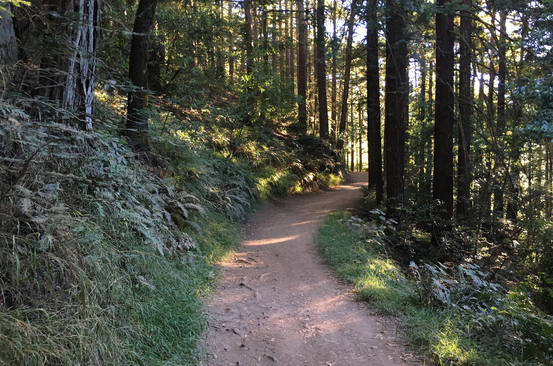
A close to complete guide to the trails of Joaquin Miller Park
Since Joaquin Miller is small, you’ll likely connect a lot of trails over and over to get a good ride in. You can ride nearly every trail in the park within 1.5-2 hours, so we’ll go over a bunch of good routes and suggest a few ways you can link them together.
If you ride up from Alameda on streets (you can also ride some dirt in Dimond Canyon on the way up), you’ll likely enter at the bottom of the park by picking up either Bishop’s Walk or the park’s lower service road, Sanborn Road, from the bottom of Joaquin Miller Road, just above Woodminster Market and Highway 13.
If you drive up, you can either park at one of four places.
-At the bottom of the hill on Joaquin Miller Road across from the small white house
-Further up the hill off of Joaquin Miller at the park’s ranger station (there is a parking lot here - you’ll turn left on Sanborn by the signs for the Woodminster Amphitheater)
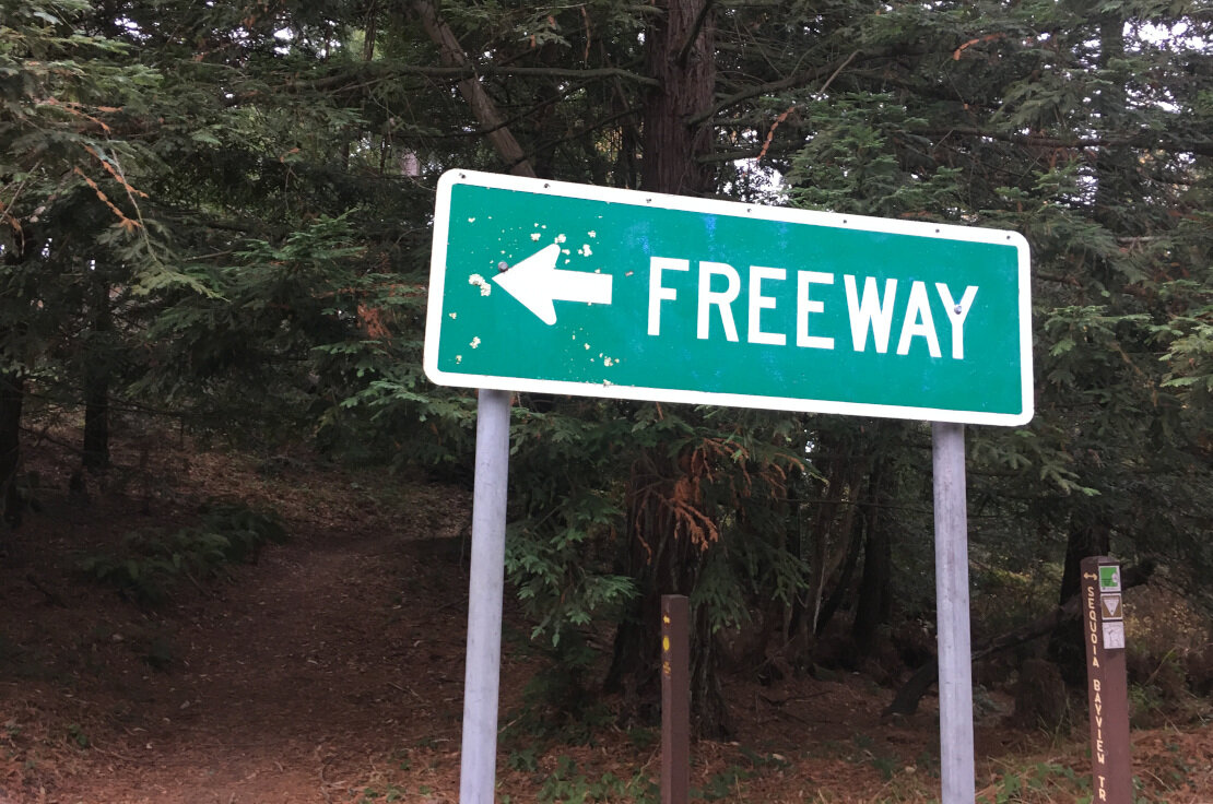
-At the Sequoia Bayview trailhead on Skyline Boulevard
-At the Big Trees trailhead, atop Skyline boulevard.
WHEREVER YOU PARK, be sure to not leave anything of value exposed in your car, or in your car at all. Vehicle break-ins are all too common here - we recommend leaving your car empty of possessions when you park here. It is common to see windows left open to show thieves that there’s nothing of value inside.
-Bishop’s Walk (also known to some as Shepherd’s walk) is a narrow trail from the bottom of the park up to the Lookout Point. It’s a relatively steep climb that is sure to challenge any level of cyclist. There’s a fun switchback turn and a steep section at the top. It’s narrow the whole way up. Alternatively, this trail is a ton of fun going downhill. You’ll see people ride it both ways. Since it parallels the paved service road, you can also climb the pavement if you’re not feeling up to the challenge of Bishop’s walk.
-Sinawik Trail (Kiwanis spelled backwards, as that’s the club who built the trail) takes you from the Lookout Point on Sanborn Road into the main lower meadow area. It’s a rolling singletrack with a few technical sections, but nothing too advanced. A short punchy climb leads out of the creek bed and into the meadow. A fun trail to loop.
-Sinawik Loop Trail runs parallel to Sinawik, from right below the Lookout Point to the meadow. There’s a very steep climb at first, but once you ride (or walk) past that, it’s a fun, fast, and flowy singletrack into the meadow.
-Sunset Trail runs through the middle of the park. Most people pick it up in the meadow, a large picnic area with bathrooms and water. Sunset runs all the way from Castle Drive on the park’s northernmost edge into the meadow. That portion of Sunset is narrow and smooth, with good views of Oakland. From the meadow, Sunset climbs quite deceptively at first and then very obviously, up to Sequoia Bayview Trail. The Sunset climb from the meadow is a good barometer of fitness. It’s got two switchbacks and a short rooty section.
-Sunset Loop Trail/Harold Ireland Trail turns off to the left just before Sunset begins climbing in earnest. There’s a narrow singletrack climb that has an abrupt left turn. One steep bit of trail later, you’re rolling down a bit. The trail will then reach a T intersection. Left will take you back to the meadow. Right proceeds up the hill, over a couple of wooden steps, to the intersection with Fern Ravine Trail. You can’t ride Fern Ravine, but you can turn left at the sign and stay on Sunset Loop, which proceeds to steeply descend to a small bridge. You’ll cross the bridge and follow the singletrack all the way back down to Sunset trail, where the loop ends. This part is a ton of fun, and a less-ridden section of the park.
-Sequoia Bayview Trail is the park’s upper spine. It runs from Skyline Boulevard at the Sequoia Bayview Trailhead all the way across the park until it ends at Castle Park Trail. It’s the easiest trail in the park, and most suitable for beginners. It’s wide, relatively flat, and traverses along a ridge. There are a few sections that have a bit of up and down, as well as a creek crossing, but nothing unmanageable. Just because it’s easy doesn’t make it ugly - Sequoia Bayview has some of the best views in the park, as well as a couple of nice tree lined sections sure to please any lover of the outdoors.
-Palos Colorados Trail has three sections, two of which are legal to bikes. Upper Palos Colorados takes you from Sequoia Bayview Trail just in from the trailhead down into the meadow. What used to be a very rooty and steep descent has been re-routed especially for bikes into a twisty trail, complete with 4 switchbacks and a bermed corner or two. From the bottom of this section, Palos Colorados and Sunset are the same trail, headed north, until you pass the bottom of Sunset Loop. From there, Middle Palos Colorados appears to your left and parallels Palo Seco creek all the way to its end at a bridge linking it back with Sinawik Trail. This part is equally fun and has a pump-track like feel at times. It may be the narrowest legal trail in the park, so definitely watch for hikers here. There’s a sign at the end of Middle Palos Colorados that says NO BIKES. You’re not allowed to ride past the bridge. It’s full of stairs, anyway.
-Orchard Trail is a short connector from Sequoia Bayview to a service road. If you go right on the service road, you head to Big Trees. Orchard is an uphill trail with a little bridge you cross at the bottom. Not too hard, but definitely gets you working as you make your way up to the service road.
-Big Trees Trail is a true intermediate singletrack gem, and a favorite of our staff. The main section of Big Trees runs from a small dirt parking lot on Skyline Boulevard down to the Sequoia Bayview trailhead. It’s a completely forested narrow trail, with some ups and downs along the way. Though mostly downhill, you’ll be pedaling the whole way. There are a bunch of options as you descend - for a little extra trail, turn right after the first descent/ascent into a clearing of trees - the trail extends a bit that way before rejoining the mail section of the trail. Without going on and on, this trail can be ridden over and over without losing its appeal.
-Cinderella Trail is one of the most technical downhill trails in the park. Running from Sequoia Bayview down to Sunset, Cinderella is consistently steep, fast, technical, and narrow at times. There’s a rock garden descent that will test anyone’s line-picking skill. That said, the trail flows well, and the recent re-route of the ending is better for the environment, adding a switchback narrow section through a Eucalyptus grove. A trail for strong riders.
-Chaparral Trail also runs from Sequoia Bayview down to Sunset. It’s steeper, rockier, and more technical than Cinderella, with tons of railroad ties creating a series of drops as the trail descends. Dry waterfall is a good description - steep and rutted for sure. Definitely a trail for the advanced mountain biker.
If you start at the bottom, we recommend climbing Bishop’s Walk to the Lookout, dropping in to Sinawik and taking that to the meadow. Climb up Sunset (moderate) or Palos Colorados (harder) and take that to Sequoia Bayview. Take Sequoia Bayview to Orchard if you want to do Big Trees. Keep going on Sequoia Bayview if you want to do Cinderella or Chaparral.
Realistically, you can’t go wrong at Joaquin Miller. Explore - there are tons of other trails not listed here, and they’re all a lot of fun.
Redwood Regional Park
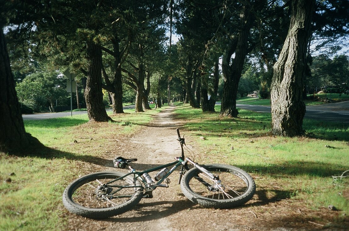
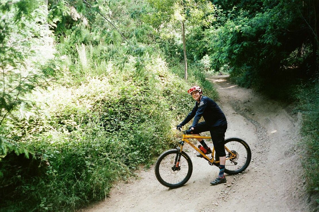
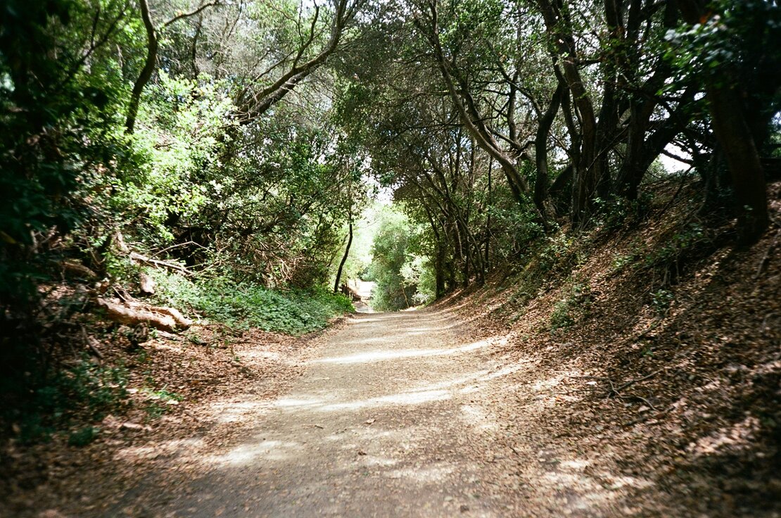
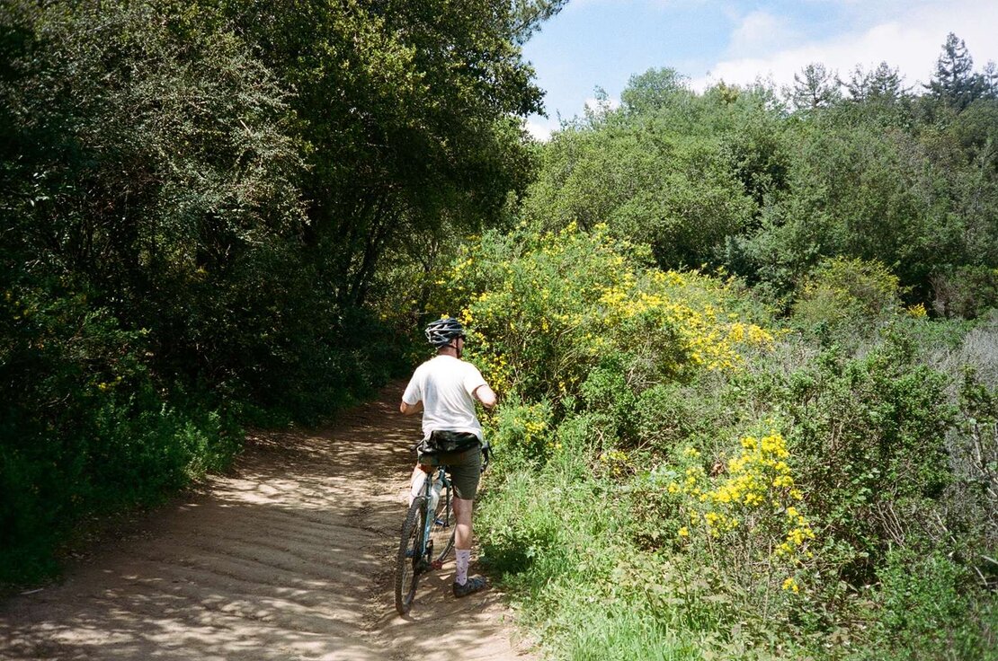
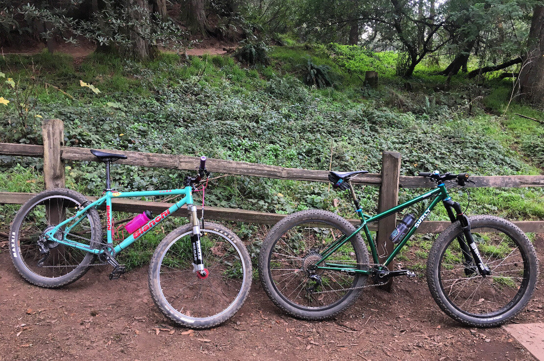
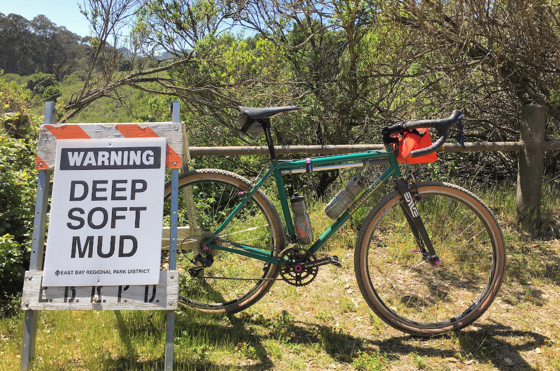
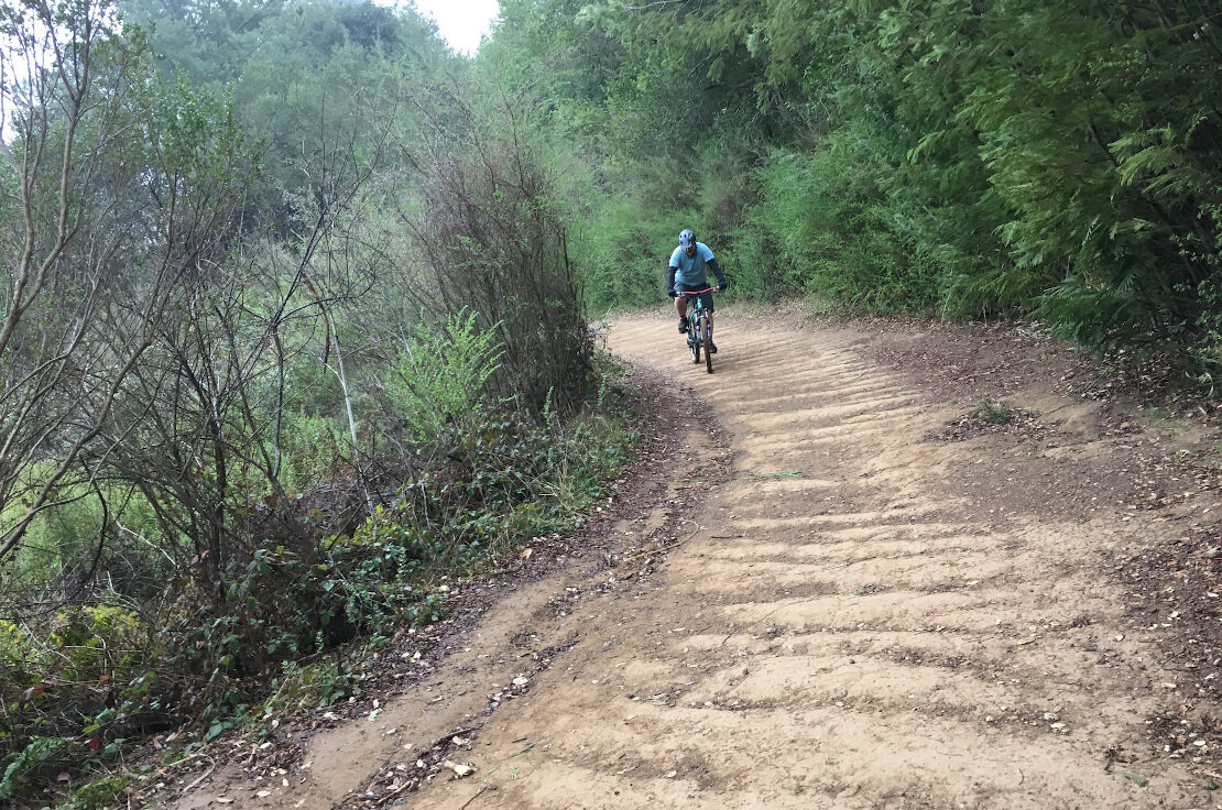
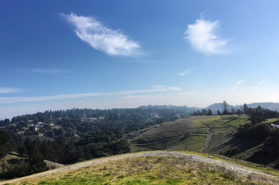
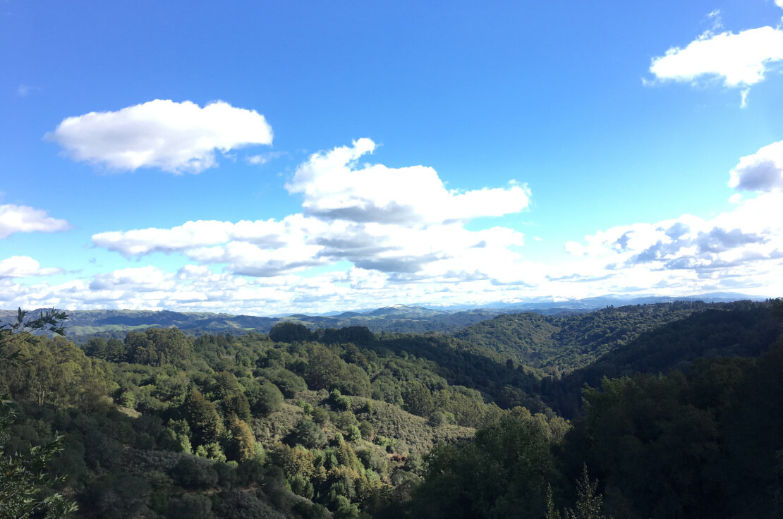
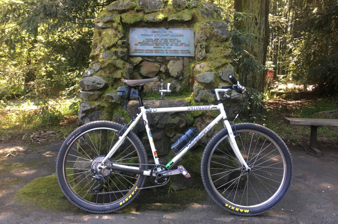
Redwood Regional Park Trail Details
Starting from Skyline Gate, head out West Ridge Trail. It’s a rolling fire road that starts out under tree cover, paralleling Skyline Boulevard. Expect to see lots of hikers and dog walkers between Skyline Gate and Redwood Bowl, a big open area with picnic tables and water. The terrain is pretty mild at first, with some small ups and downs, as well as minor rocks and roots.
Once you pass Redwood Bowl, the trail begins to descend in earnest. It gets wider, dustier, and bumpier. You’ll pass Baccharis Trail, which you can take if you feel like it - it will wind up meeting up back with West Ridge before the final descent to the picnic area at Redwood. This last part of West Ridge is definitely the most technical part of the ride - it’s steep, loose, and fast.
Once you descend to the bottom, you’ll ride alongside a stream for a bit before entering an open picnic area with a parking lot. Across the way, you’ll find Canyon Trail, which is your steep uphill connector to East Ridge Trail. Canyon is rough, so shift into a low gear (your lowest gear, most likely) and grind it out. When you get to the top of Canyon, turn left onto East Ridge.
East Ridge is a much milder climb to the parking lot at Skyline Gate. It’s mostly uphill, but it has flat sections and even a few downhill bits. All in all, the Redwood Loop is a good cross country mountain bike ride with no shortage of climbing. You’ll get a workout for sure.
Redwood is also great for night riding as the entire East-West Ridge Loop is legal to ride. Just be sure to have powerful helmet-mounted night lights and respect the rules of the road.
8.5 miles, 1,180 feet of climbing.
Anthony Chabot Regional Park
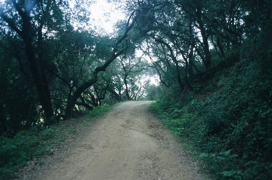
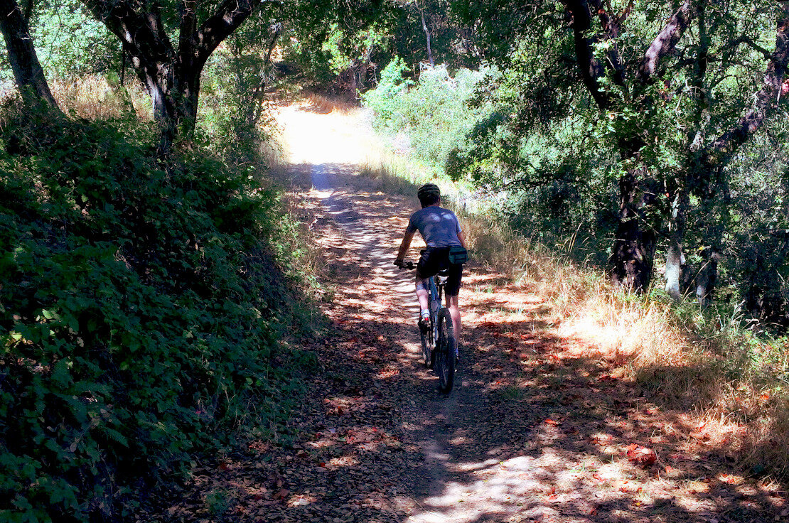
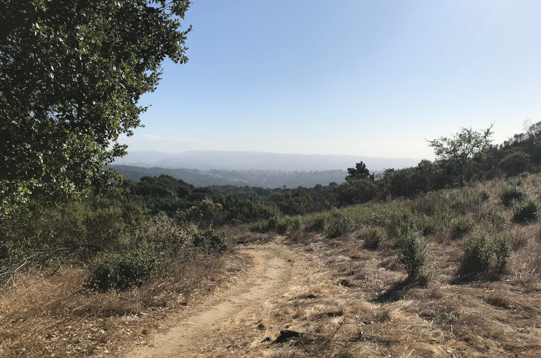
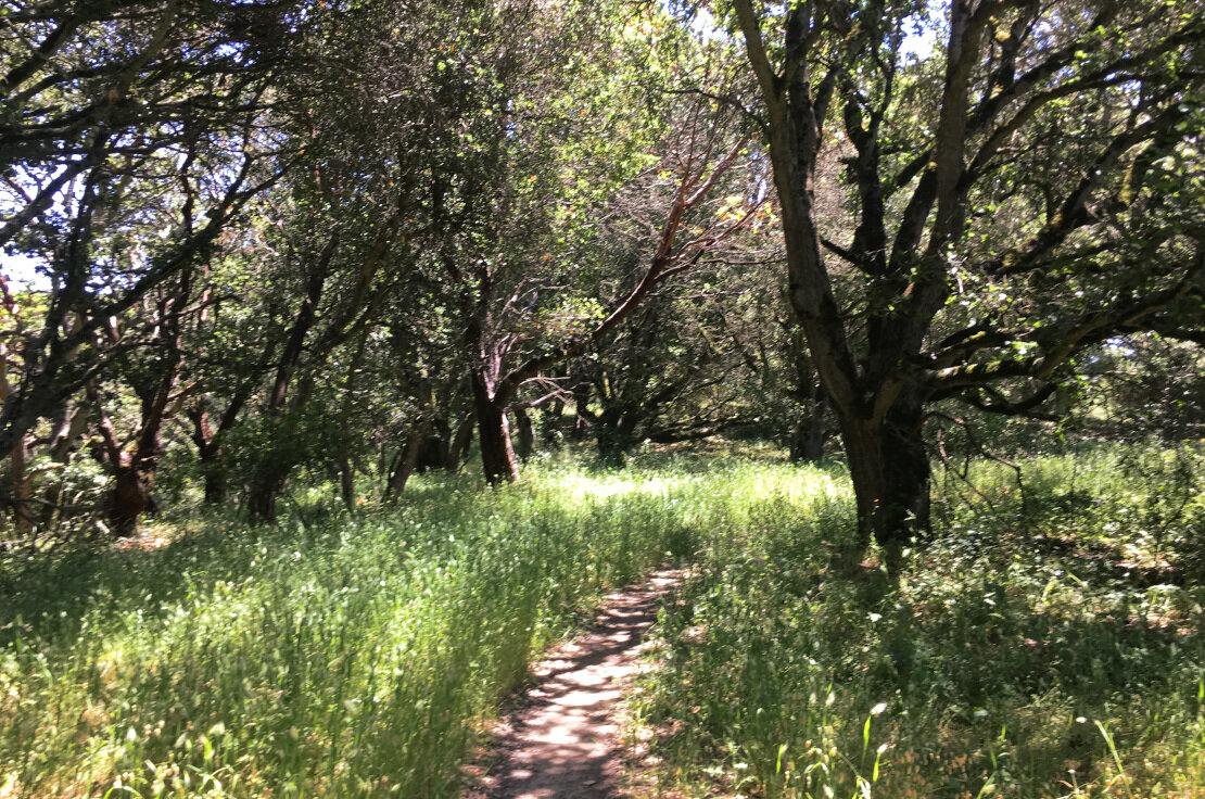

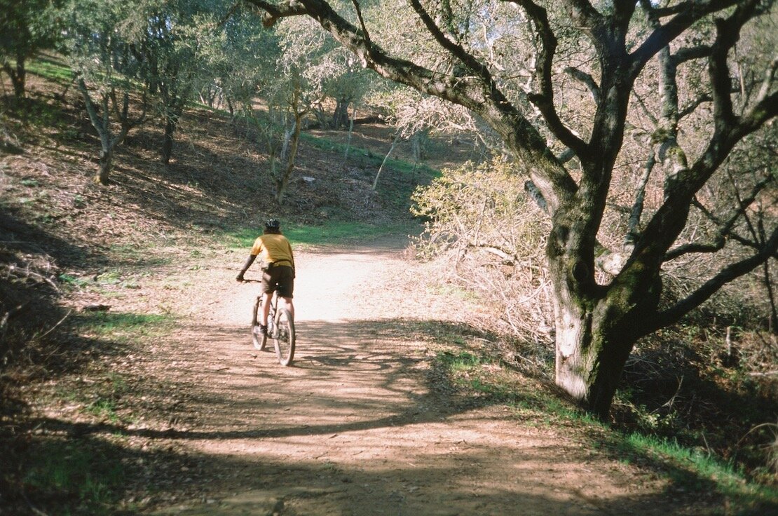
Lake Chabot Loop/Anthony Chabot Regional Park
There is an official “Lake Chabot Bicycle Loop” that is marked on the official park map. It’s a little over 12 miles long, ranging from a flat paved trail along the lakeshore to steep fire road climbs and descents.
If you’re coming from Alameda, a great way to experience Lake Chabot and Anthony Chabot is to take BART to Castro Valley and ride from there. Once you get off BART, ride out Redwood Road for about 2.5 miles - there’s one road climb, and one road descent before you reach the Brandon Trailhead, behind the Golf Course clubhouse. From there, climb up Brandon Trail for about 1.25 miles until you reach the junction with Redtail Trail.
Brandon is a wide fireroad with some sun exposure - not the hardest climb out there, but it’ll get you working a bit. Once you turn right onto Redtail, the trail gets narrower and a lot more fun. Redtail rolls up and down, with some mildly technical features. It kind of feels like a roller coaster - watch your speed around the corners and beware of hikers!
After about a mile and a quarter of Redtail, which parallels Marciel Road, you’ll come to the corner of Marciel and Redwood Road. Head North on Redwood for about half a mile and then turn right onto Soaring Hawk Trail. It’s marked on the map, but not at the trailhead. It’s the only trail to your right, and it’s a fun up and down, washboardy bit of fire road that will take you back to Redwood road, right across from the Bort Meadow staging area.
Cross Redwood road and you’ll be back on the dirt. Hook a right turn on MacDonald trail, and begin climbing back up to Skyline Boulevard in Oakland. It’s about a mile and a half of climbing until you reach a T intersection. Going left takes you to Parkridge Drive, a neighborhood street that you can follow out to Skyline. Going right takes you down the rest of MacDonald trail, which eventually spits you out on Redwood Road after a steep descent.
If you go left, you can follow Parkridge straight out to Skyline. Hook a right onto the trail that appears in the median of Skyline Boulevard - it’s an awesome piece of singletrack that connects all the way back to the corner of Skyline and Redwood Road, right past Skyline High School. From there, you can take Redwood down the hill until it becomes 35th Avenue, and follow that back to Alameda via the Fruitvale or High Street bridges.
This ride, from Castro Valley BART to the corner of Redwood and Skyline, is 12 miles and 1,830 feet of climbing. Not bad! You can easily connect the end of this ride to Joaquin Miller or Redwood if you’re looking for more mileage.
A Little Further Away
Here are our top six non-East Bay mountain bike destinations (links from the great site, Bay Area Mountain bike rides):
Camp Tamarancho, Fairfax (Route suggestion)
China Camp, San Rafael (Route suggestion) and the backside - for experts (Route suggestion)
Annadel State Park, Santa Rosa (Three route suggestions)
El Corte De Madera Creek Open Space Preserve (Skeggs Point), San Mateo County (Four rides at Skeggs)
Soquel Demonstration State Forest, Santa Cruz Mountains (Route Suggestions)
Wilder Ranch State Park/Pogonip, Santa Cruz (Three route suggestions)

